












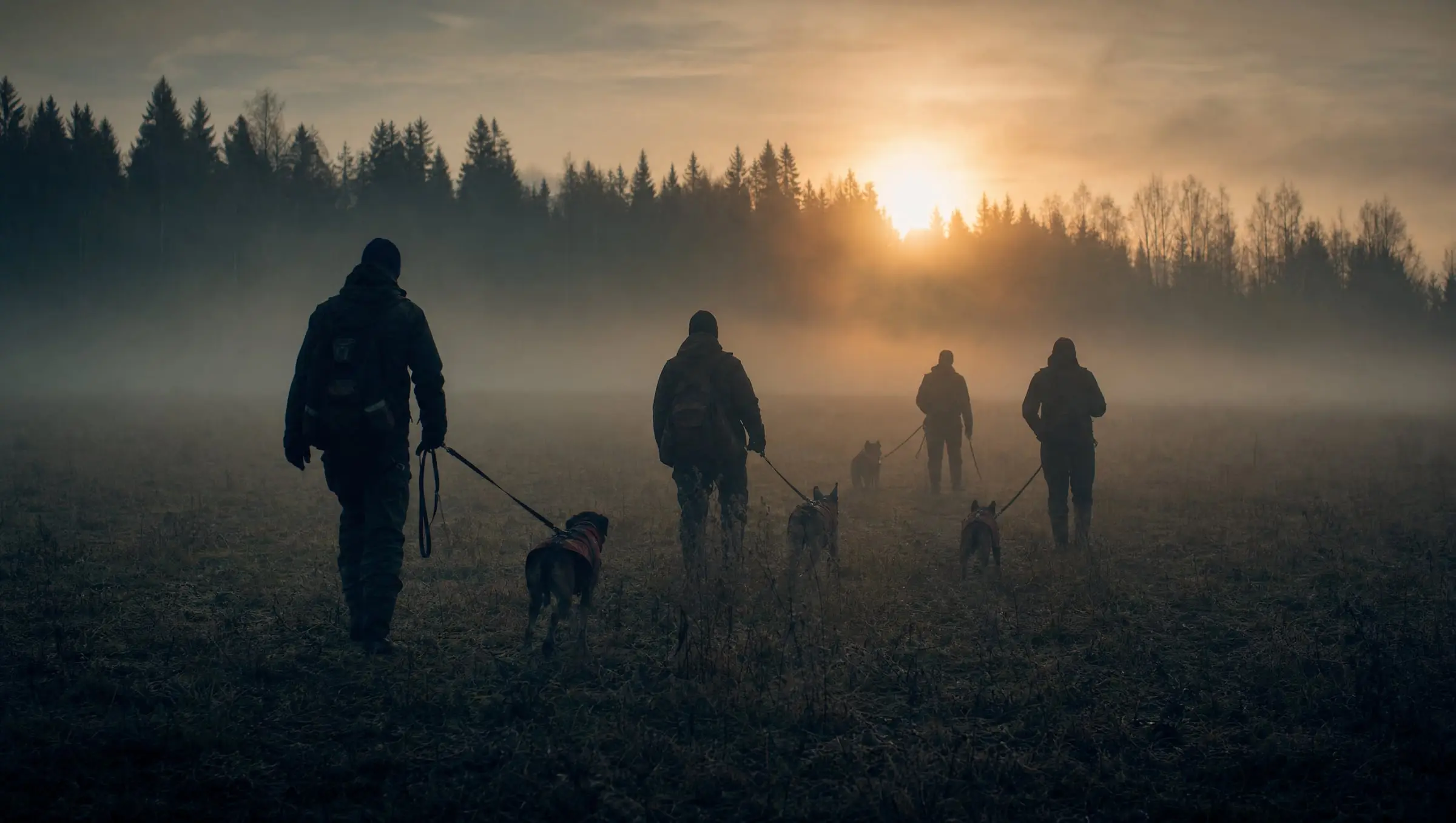
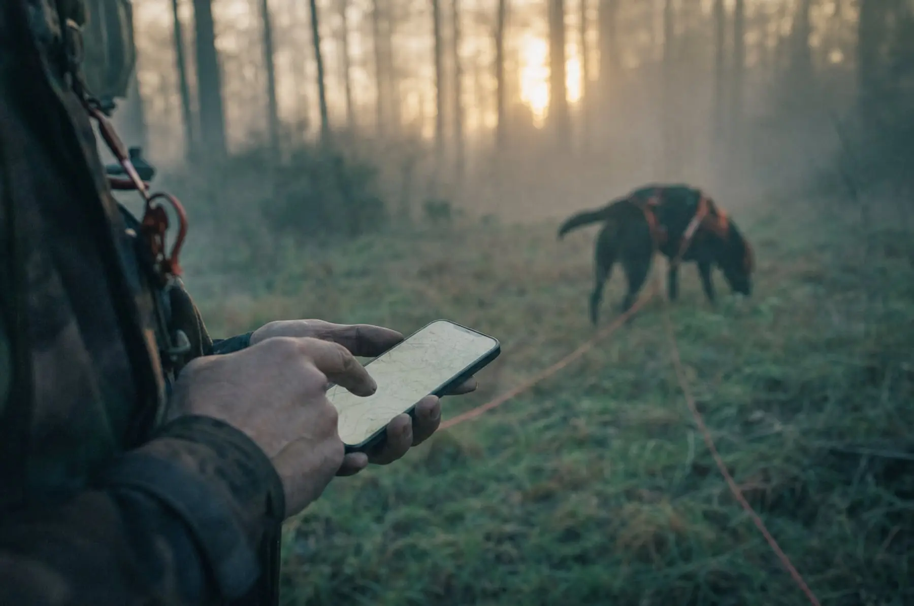
Dogs with a special mission

Every trail recorded,
metre by metre

A professional GPS app for mantrailing. Record the layer’s trail, record your dog’s work and compare them point by point — in the field, offline, on one account across Android and iPhone.

See how it works
2 sGPS sampling
2 platformsone shared account
7 daysPremium for free

How it works

Three steps that turn training into data

Instead of guessing after a session — real numbers: where the dog held the trail, where it lost it, and how long it took to find it again.

  1. Step 01

    Recording the trail

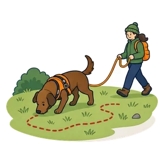
    The layer walks the route while the phone records the trail and, once finished, can optionally send it to the handler working the dog. The screen can stay off while recording — the app works in the background.

  2. Step 02

    Setting off with the dog

    A second recording in “dog” mode, made on the search team’s phone. You can optionally switch on Adventure Mode, which warns you live with vibration and/or voice whenever the dog strays from the trail.

  3. Step 03

    Analysis

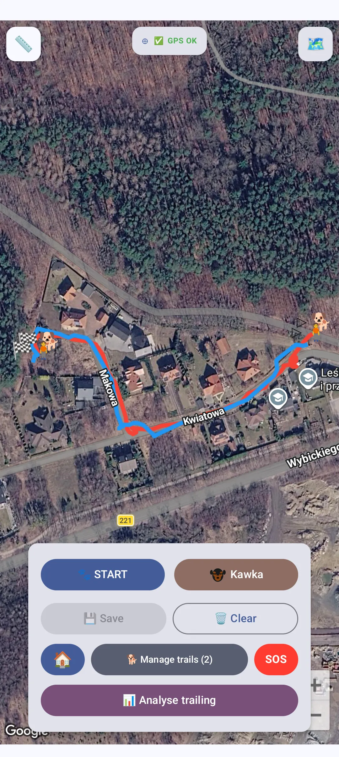
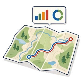
    The app overlays both trails and, on Premium, also calculates average and maximum deviation, trail coverage and a score for the dog’s work.

App features

Everything you need in the field

Over thirty features built around one goal: making a mantrailing session repeatable, comparable and measurable.

Available to everyone

Included in the free account, at no cost

  • New

    Trail pairing

    Before you start, mark the human trail your dog is following. Afterwards one tap shows both trails on the map, and the analysis knows which is which. Works without a signal too.

  • New

    Decoy trails

    Mark the trails your dog should ignore. They are drawn on the map alongside the dog trail, but the analysis leaves them out — it compares the dog trail only with the one it was meant to follow. No limit.

  • Map compass

    See which way you are facing without pulling a compass out of your backpack. Choose a compass rose with the exact bearing or a small needle. Enable it in Map options.

  • Push notifications

    The app lets you know right away: a request to join your organisation, being added as an SOS contact, or a training invitation. A red dot in the menu highlights new activity.

  • GPS tracking

    Record trails in real time. OpenStreetMap support, human and dog modes.

  • Trail navigation

    Quickly find trails on the map using the crosshair. Perfect for organisations.

  • Ratings & notes

    Rate trails with stars and add notes. A complete work journal for your dog.

  • Join organisations

    Join a training group and share trails with the other members.

  • Browse organisations

    Browse all public organisations. Find a training group near you.

  • SOS alert

    Send an SOS to your emergency contacts. Notifications with live location updates.

  • Training journal

    Training history, monthly statistics and a session calendar.

  • GPX import

    Import trails from external apps and assign them to the human or dog tab.

  • GPX export

    Export trails as GPX files. Share via messenger or save to disk.

  • GPS trail colours

    Choose trail colours for human and dog from 25 options. Personalise it your way.

  • Map ruler

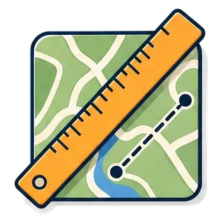
    Measure distances directly on the map. Mark points one by one — the ruler shows the running total.

  • Shared Android + iPhone account

    Log in on both platforms — your data syncs automatically. One account, both phones.

  • Rename trails

    Rename any of your trails at any time — the pencil next to the name.

  • Move trails

    Move trails between human and dog tracks with a single tap.

  • Light & dark mode

    Choose the look of the app — light or dark theme.

  • Map type memory

    The app remembers your chosen map type — satellite or standard.

Want more? Discover Premium

Premium — unlock the full potential

The full toolkit for working teams

  • Premium

    Trail video recording

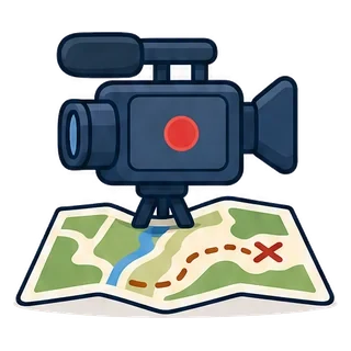
    Record video while trailing and watch the map at the same time — a true innovation in mantrailing.

    • Video with sound while trailing, no app switching
    • Camera preview on the map — set size and position in Options
    • Saved locally to your phone gallery, in a “NOS Trailing” album
  • Premium

    Adventure Mode

    Real-time alerts the moment your dog drifts off the trail.

    • Vibration, voice message and a red on-screen banner
    • You are also notified when the dog returns to the trail
    • Configurable 1–60 m threshold and alert frequency
    • Turns on by itself once you pick a trail to pair with
  • Premium

    Trailing analysis

    Compare the dog’s trail with the layer’s and assess the accuracy of the work.

    • Average and maximum distance from the trail
    • Trail coverage percentage (points within a 10 m radius)
    • Automatic score for the dog’s work
  • Premium

    Events & reminders

    Manage your dog’s health — never miss a vaccination again.

    • Vaccinations, deworming, vet visits and other event types
    • Daily reminders at 9:00
    • Recurring events that create the next date automatically
  • Premium

    No limits

    Unlimited dogs, unlimited trails, complete freedom.

    • Unlimited dogs in your profile
    • Unlimited saved trails
    • Create your own organisations
  • Premium

    Google Maps

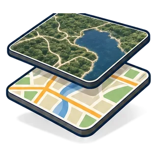
    An additional Google Maps layer alongside OpenStreetMap.

    • Two map types to choose from
    • Smoother animations
    • Familiar navigation
  • Premium

    Weather conditions

    Weather is recorded automatically during training.

    • Temperature and humidity
    • Wind speed and direction
    • Weather condition icons
  • Premium

    Organisation overview

    A view of every member of the organisation and their dogs.

    • Every member’s dogs with avatars
    • Administrators highlighted
    • A quick team overview
  • Premium

    Train with an organisation dog

    An administrator can record a trail with another member’s dog.

    • The trail goes to the dog’s owner
    • Visible in the organisation history
    • Works offline too, with automatic upload
  • Premium

    Training session planner

    Organise group sessions and invite anyone — even outside your organisation.

    • Title, date, time, place and a pin on the OSM map
    • A unique 6-character code for guests outside the organisation
    • Push notification for the next session and monthly statistics

Ready for more?

Try Premium from€1.49/ month

First 7 days free for new users

See Premium details

App in action

This is how it looks on your phone

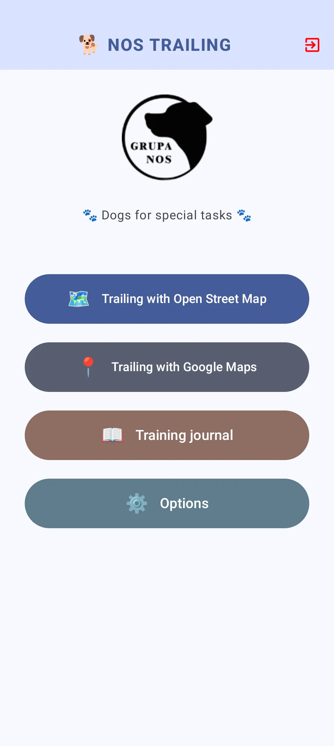
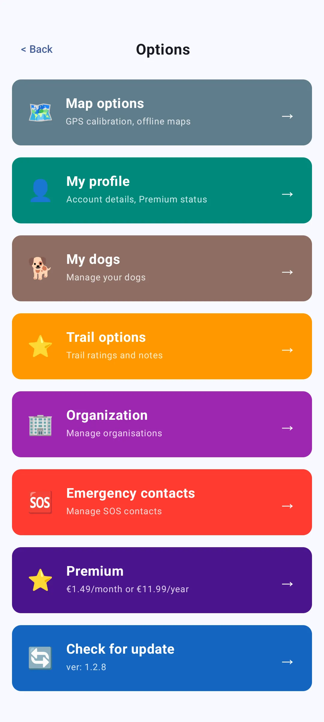
Main menu
01Main menu
Account management
02Account management
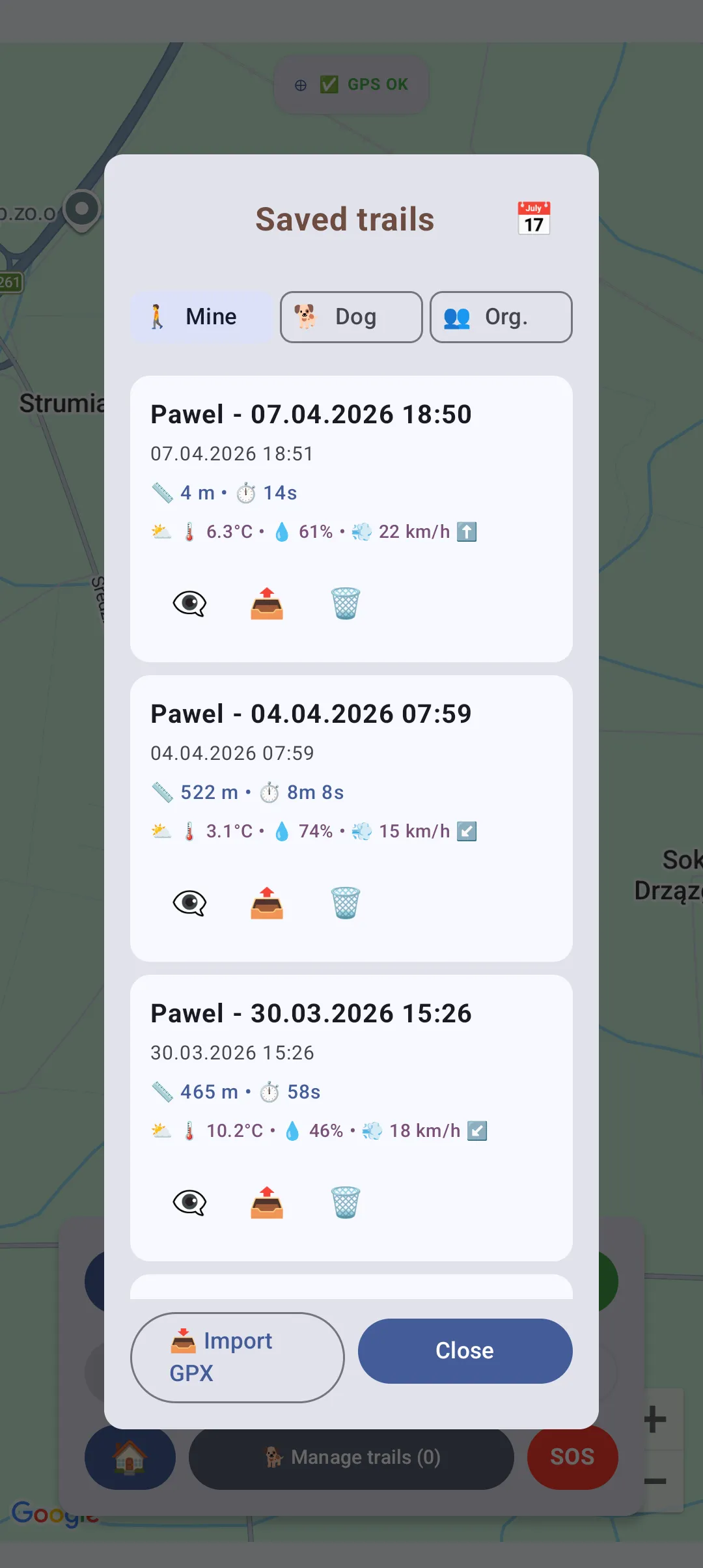
Trail list
03Trail list
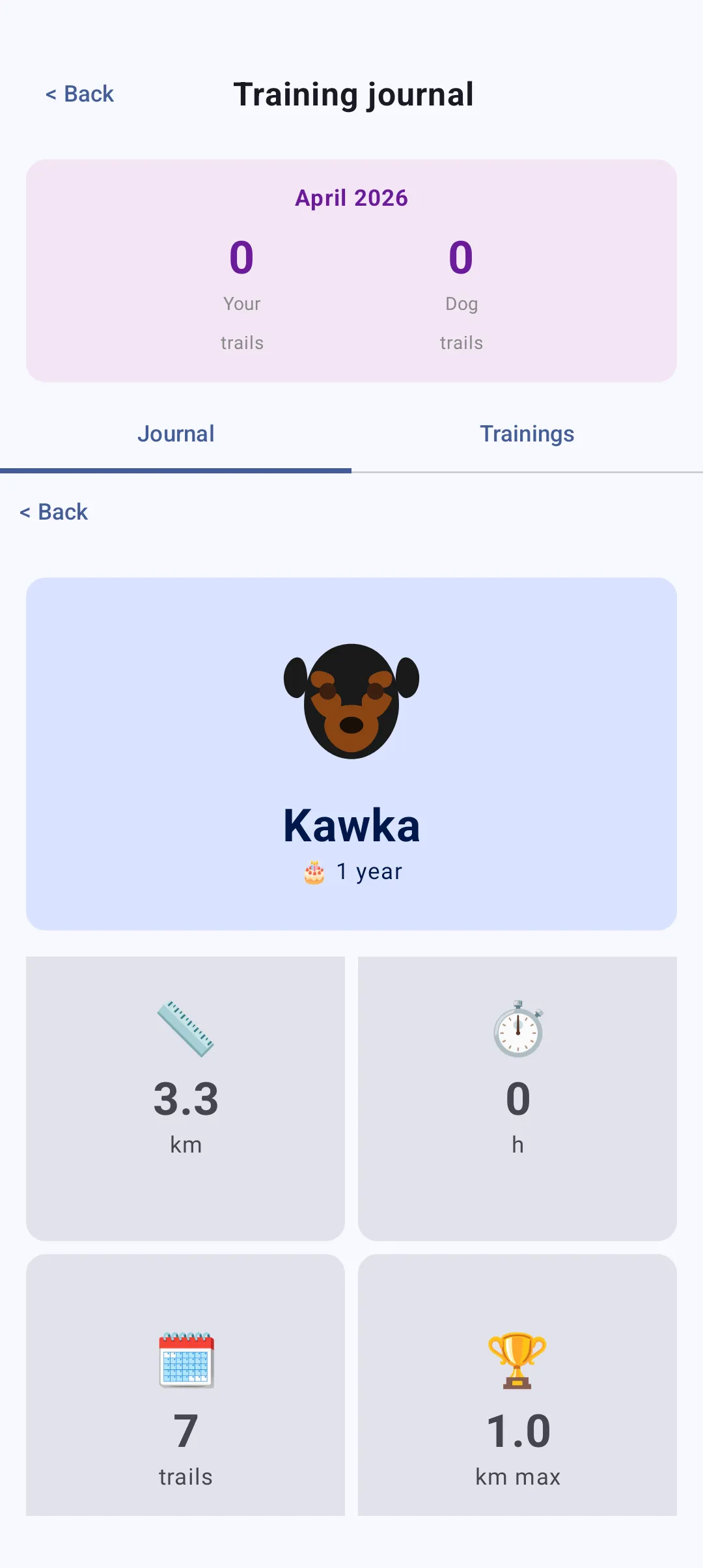
Dog statistics
04Dog statistics

Swipe sideways to see more

Training videos

Watch before you head out

Short step-by-step recordings — from first launch to trailing analysis. The material is in production and appears here one episode at a time.

01published
02planned
  • Basics2:05

    First steps: creating an account

    Installing the app, registering and verifying your email address

  • Coming soon
    In the field

    Recording the layer’s trail

    GPS calibration, starting the recording, waypoints at key locations and saving the trail under your own name.

  • Coming soon
    Premium

    Adventure Mode in the field

    Setting the threshold and alert frequency, and how to use the voice cues during a real trail.

Want to know when a new video lands?

Follow on Facebook

User guide

From install to trailing analysis

The complete manual. Start with the two phone settings below — without them your trail will be imprecise.

Do this first

iPhone — GPS settings

For trail recording to work accurately on iPhone you must set up location correctly — otherwise the trail will be imprecise.

  • On first launch, when the app asks for location, choose “Allow While Using the App”.
  • Turn on “Precise Location” — without it the trail is very inaccurate.
  • Check or fix it in Settings → Privacy & Security → Location Services → NOS Trailing:
    • Permission: “While Using the App”, or “Always” for reliability during long background recording
    • Precise Location: on
  • During recording you can lock the screen — the app records in the background and a blue location bar appears at the top.
  • Turn off “Low Power Mode” while recording — it can throttle GPS.
From version 3.0 you no longer have to watch this yourself

If “Precise Location” is off, the app detects it — instead of showing “GPS…” forever it displays “Approximate location” and a yellow bar with a “Turn on” button. One tap and the GPS is back to normal, with no hunting through Settings.

Permission granted this way lasts until you stop using the app. To make it permanent, switch “Precise Location” on in Settings, as described above.


Android — battery optimisation

Some phones put background apps to sleep and can stop recording halfway through a trail. This mainly affects Xiaomi, Redmi, POCO, Huawei, Honor, Oppo, Realme, OnePlus and vivo. If you have one of these, do this once — it takes a minute.

  • Go to Settings → Apps → NOS Trailing → Battery and choose “Unrestricted” or “Don’t optimise”.
  • On Xiaomi, Redmi and POCO also enable Autostart, and lock NOS Trailing in the recent apps view with the padlock icon.
  • On Huawei and Honor choose App launch → Manage manually and leave all three options enabled.
  • While recording, don’t swipe the app away from the recent apps list — leave it in the background. Locking the screen is perfectly fine.
How do you know it worked?

While recording, the NOS Trailing notification stays visible in the notification bar the whole time. If it disappears during a long trail, your phone killed the app — go back to the settings above.

Step by step

  1. 01

    Registration and login

    After installing the app, create an account with your email, first name, last name and password. Verify your email — we send a link to the address you provided. Once logged in you have access to every feature.

    Note

    The free account has limits: 1 dog, 15 trails, no organisation creation.

  2. 02

    Add your dog

    Go to Options → My dogs → Add dog. Fill in the form: name, gender, choose an avatar. Optionally add date of birth and chip number.

    In the dog’s profile you can:

    • add exams (name, date),
    • track statistics: kilometres, hours, number of trails,
    • Premium: manage events and reminders — vaccinations, deworming, vet visits.
    Events and reminders (Premium)

    A health and scheduling system for your dog. Available event types:

    • Deworming — reminders for regular treatments
    • Vaccination — rabies, parvovirus, distemper and others
    • Insurance — renewal date
    • Vet check-up — routine examinations
    • Dentist — teeth cleaning, check-up
    • Exam or course — training, certificates
    • Grooming — groomer visits
    • Other — any custom event

    Features:

    • Reminders — choose how many days before: 7, 14, 30, 60 or 90
    • Recurring events — the next date is created automatically every 1, 2, 3, 6 or 12 months
    • Notifications — every day at 9:00 you get a reminder about upcoming events
    • Status colours — green: done, red: overdue, yellow: upcoming, blue: scheduled
    • “Done” button — mark as completed; for recurring events the next date is created automatically

    Example: you add a rabies vaccination dated 15/03/2026, with a 14-day reminder and a 12-month cycle. You get a notification on 01/03/2026, and after marking it as “Done” the next vaccination is created automatically for 15/03/2027.

  3. 03

    Recording a trail

    “Human” mode — records the person’s trail, i.e. the scent trail to follow:

    • Choose Trailing with Open Street Map, or Google Maps on Premium
    • Wait for GPS calibration — the green “GPS OK” icon
    • Tap Start — the app begins recording GPS points every few seconds
    • Walk the route your dog will track
    • You can add waypoints at key locations
    • Tap Stop when you are finished
    • Name the trail and save it

    “Dog” mode — first select a dog in Options and switch the mode to “Dog”. Then record the dog’s trail exactly as above.

  4. 04

    Trail pairing and decoy trails

    The app can remember which human trail your dog was following. No more hunting for the matching trail in the list, or guessing which one to compare with which.

    Turn it on in Options → Trail options → Trail pairing. There are three switches:

    • Trail pairing — enables the whole feature. Free.
    • Automatic Adventure Mode — picking a trail turns off-trail alerts on straight away, with no need to find the flag for every trail (Premium).
    • Add decoy trails — lets you mark trails your dog should ignore. Free.

    How it works in the field

    • Switch to dog mode — a Trail: none selected bar appears above the buttons.
    • Tap it and pick a human trail. You get Mine / Organisation / Imported tabs, a newest-first list and a “laid X min ago” label — at a group training you can see at a glance which trail is fresh.
    • The chosen trail is left alone on the map — everything else is cleared so nothing gets in the way.
    • With decoys enabled, a second bar appears. Mark as many trails to avoid as you like — the target itself can’t also be a decoy.
    • Start, trail, stop, save. The pair is created by itself.

    Once saved, the dog trail carries a pair badge in Trail management. Tapping the eye shows the full set at once: the dog trail, the human trail and every decoy. Tapping again hides them all together.

    Works without a signal too

    A trail laid in the woods with no internet is saved on the phone and shows up in the list straight away with a “saved locally” badge — so you can still pick it as your dog’s target. The pair completes itself once both trails reach the server.

    Forgot to pick one before starting?

    No problem. You can still choose the target in the save dialog, and later on with the crosshair icon next to the dog trail’s name in Trail management. The same icon breaks the pair.

  5. 05

    Trail video recordingPremium

    While trailing you can also record video with sound, all while watching the map:

    • On the map screen tap the camera icon below the ruler — a camera preview opens
    • Tap the red REC button to start recording — a timer shows the duration
    • Tap it again to stop — the video saves automatically to your phone gallery, in a “NOS Trailing” album
    • In Options → Video recording you can set recording quality, preview size and its position — separately for portrait and landscape
    Privacy

    The recording stays only on your phone — nothing is uploaded to any server.

  6. 06

    Trail management and navigation

    From the map screen tap Manage trails. You will see a list of saved trails with these options:

    • Eye — show or hide the trail on the map
    • Export — export GPX for other GPS apps
    • Trash — delete the trail
    • Pencil — rename the trail, icon next to the name
    • Move — move the trail between human and dog tracks, icon next to the name
    • Crosshair — navigate to the trail. Grey when inactive, yellow when active. It only appears when the trail is visible. Tap the crosshair and close the dialog — the map centres on the selected trail automatically. Perfect for quickly finding organisation or friends’ trails.
    • Flag — enable Adventure Mode for this trail; the app will alert you when the dog strays (Premium)
    • Filters — “Mine” (all), “Dog” (dog only), “Org.” (organisation)

    After saving a trail you can rate it from 1 to 5 stars and add notes.

  7. 07

    Trailing analysisPremium

    Recorded two trails? You can analyse them:

    1. Open Manage trails
    2. Make both trails visible
    3. Tap Analyse trailing

    The app automatically treats the trail that started earlier as the layer’s trail and the later one as the dog’s — regardless of the order you enabled them. It calculates the trail ageing time, average and maximum distance of the dog from the trail, coverage percentage (points within a 10 m radius) and a score for the dog’s work.

  8. 08

    Organisations

    Browse organisations (free):

    • Options → Organisation → Browse organisations
    • See a list of all public organisations — find a training group near you
    • Contact the admin and ask for an invitation code

    Join an organisation (free):

    • Options → Organisation → Join organisation
    • Enter the invitation code you received from the group admin
    • Once accepted you can see the members’ trails

    Create an organisation (Premium): Options → Organisation → Add organisation. Enter a name and ask members to join with the code.

    Roles in an organisation

    PermissionOwnerAdministratorMember
    Delete organisationyesnono
    Accept and reject join requestsyesyesno
    Remove a memberyesyesno
    Remove an administratoryesnono
    Promote member to administratoryesyesno
    Demote administrator to memberyesnono
    Record a trail with any organisation dog (Premium)yesyesno
    View organisation members, dogs and rolesyesyesyes
    Protected from removalyesnono
  9. 09

    Training journal

    From the main menu choose Training journal. The screen has two tabs.

    “Journal” tab — a chronological list of trails for the selected dog:

    • date and time of the session,
    • distance in kilometres and duration,
    • star rating and notes,
    • weather conditions: temperature and humidity.

    “Sessions” tab (Premium) — planning group sessions:

    • create a session: title, date, time, place, notes and an optional map pin,
    • invite organisation members or share a 6-character code with people outside it,
    • copy the code and send it to a friend — they join by entering it in the app.
    Monthly statistics

    At the top of the journal you see a summary: how many trails you, your dog and the whole organisation recorded this month.

  10. 10

    SOS system — safety during training

    Lost during training?

    Send an SOS alert to your emergency contacts — they receive notifications with your live location.

    Step 1: add emergency contacts

    • Go to Options → Emergency contacts
    • Tap Add contact
    • Enter the email of the person who will be your emergency contact — they must have an account in the app
    • A request is sent; the other person has to accept it
    • You can have up to 5 emergency contacts

    Step 2: send an SOS when you get lost

    • While trailing, or when you get lost, tap SOS in the main menu
    • A red Send SOS alert button appears — tap it
    • Your emergency contacts receive two push notifications: the first immediately, the second after 10 minutes if the alert is still active
    • Your location is updated every 2 minutes — contacts can see where you are in real time
    • Red markers with your position appear on the map, and contacts see the distance to you in metres

    Step 3: mark yourself as safe

    • Once you are safe, tap I am safe
    • The SOS alert is resolved and contacts stop receiving updates
    • If you forget to resolve the alert, it ends automatically after 12 hours
    Tip

    The SOS system works both ways — you can be an emergency contact for others and receive their alerts. When someone from your contacts sends an SOS, you see their location on the map as a red marker with the distance.

    Notifications

    Make sure notifications for NOS Trailing are enabled in your phone settings so you receive SOS alerts from your contacts.

Settings and advanced options

Disable GPS calibration

By default the app waits for GPS calibration — accuracy below 20 m — before it starts recording. You can turn this off:

  1. On the trailing screen tap Options in the top-right corner
  2. Uncheck “Wait for GPS calibration”
  3. The Start button becomes active immediately, even with a weak signal

Without calibration the trail may be less accurate, especially at the beginning of the recording.

GPS recording frequency

In Options → GPS settings you can change how often points are recorded:

  • Every 2 seconds — highest accuracy, more battery drain (default)
  • Every 5 seconds — optimal
  • Every 10 seconds — saves battery, lower accuracy

For mantrailing we recommend 2–5 seconds.

Recording modes: human and dog

The app distinguishes two types of trail:

  • “Human” mode — records the person’s trail, i.e. the scent trail. Change it in Options → “Record as: Human”
  • “Dog” mode — records the dog’s trail during tracking. Change it in Options by selecting a dog from the list
Waypoints (markers)

While recording you can add waypoints at key locations:

  • Tap Add waypoint during recording
  • Enter a description, for example “Crossroads”, “Direction change”, “Object”
  • The waypoint appears on the map as a green icon with a number
  • When you finish you see a list of all waypoints with time and distance

Useful for marking difficult spots or landmarks.

Importing trails from GPX

You can import ready-made trails from GPX files:

  1. Options → Trail options → Import GPX
  2. Select a GPX file from your phone
  3. The trail is added to your trail list

GPX files from Garmin, Strava, Google Maps and OsmAnd are supported.

Trail optionsPremium

In Options → Trail options you will find advanced settings for Premium accounts.

Trail ratings

  • Ask for a rating after the trail — an automatic rating dialog after saving
  • Require a comment — force a note with every rating
  • Show ratings in the list — stars visible on trail cards

Weather data

  • Temperature — show temperature in °C in the trail list
  • Humidity — show air humidity as a percentage
  • Weather icon — a visual representation of the conditions
  • Wind — speed and direction during the session

All weather data is recorded automatically while a trail is being recorded. In the options you choose which information is displayed.

Adventure ModePremium
What is it?

Adventure Mode is real-time guidance during trailing. The app tracks the dog’s position live and alerts you when it strays from the trail. It is like having a virtual instructor saying “the dog is too far from the route”.

How does it work?

  1. Record the person’s trail, i.e. the scent trail, in “Human” mode
  2. Select the trail from the list and tap the eye to show it on the map
  3. Tap the flag next to the crosshair — this enables Adventure Mode
  4. The Start button changes its icon to a flag, meaning Adventure Mode is active
  5. Start trailing — the app monitors the dog’s distance from the trail in the background
  6. When the dog strays beyond the configured 1–60 m threshold: the phone vibrates, a voice says “You are far from the trail” and a red banner shows the distance
  7. When the dog returns to the trail: a green banner appears with the voice message “You are back on the trail”

Adventure Mode settings

In Options → Trail options → Adventure Mode settings you can configure:

  • Distance threshold — 1–60 m on a continuous slider; when the dog exceeds it you get an alert
  • Alert frequency — 5, 10 or 20 seconds, i.e. how often to repeat the alert while the dog is still far away
  • Alert type — vibration only (discreet), voice message only, or both at once (recommended)
Why it works
  • Instant correction — you know immediately when the dog leaves the trail
  • Better learning — the dog learns to track more precisely thanks to quick feedback
  • Time saved — no need to wait until the end to check whether the dog held the trail
  • More confidence — you see the exact distance from the trail in real time
  • Training at a distance — you can let the dog work independently and still monitor it
Tips
  • The banner disappears automatically after 5 seconds, or you can tap it to close
  • For beginner dogs: a low threshold of 5–10 m and a high frequency of 5 s
  • For advanced dogs: a threshold above 20 m and a frequency of 10 s
  • The phone can stay in your pocket — you will hear the voice alerts and feel the vibrations
  • The flag icon on the Start button shows that Adventure Mode is on
Training journal

Browse your training history and plan group sessions:

  • Main menu → Training journal
  • Monthly statistics at the top: my trails, dog trails, organisation trails
  • “Journal” tab — a chronological trail list with distance, time, rating and weather
  • “Sessions” tab (Premium) — upcoming and past group sessions
  • Sessions: title, date, time, place, OSM pin, participant list and invite code
Map ruler

Measure distances directly on the map, without recording a trail:

  1. Tap the ruler icon in the top-left corner of the map screen
  2. Tap points on the map — each new point draws a segment and the running total updates immediately
  3. Tap the ruler again to stop drawing — the line and distance stay on screen
  4. Another tap hides the distance while the line stays visible
  5. One more tap clears everything and returns to the idle state

The ruler remembers the drawn line when you return to the map — handy for marking out a route for the person hiding, so they roughly follow the planned trail.

Tips and best practices

  • GPS accuracy

    Wait for GPS calibration — the “GPS OK” icon. In open terrain accuracy is around 5 m; in a forest it can be worse. Don’t cover the GPS antenna at the top of the phone.

  • Battery

    GPS tracking uses about 10–15% of battery per hour. Take a power bank for long sessions. The app works in the background, so you can lock the screen.

  • GPX export

    Exported GPX files open in Google Earth, Strava, Garmin Connect and OsmAnd. Useful for analysis or for sharing trails.

  • Data backup

    All trails are saved on the server. You can log in on another device and access your full history.

  • Location permissions

    For background GPS tracking: on Android set location to “Always”; on iPhone choose “While Using the App” and turn on “Precise Location”.

  • GPS in the forest

    In dense forest the GPS signal can be weaker. If the trail “jumps”, increase the recording frequency to 3 seconds and wait for a better signal.

  • Offline maps

    OpenStreetMap loads tiles online. If you train without internet the map may be empty, but GPS still works — the trail is saved anyway.

  • Synchronisation

    After finishing a trail make sure you have internet — it uploads to the server automatically. Without internet it is saved locally.

  • SOS alert

    Add emergency contacts before you head out. If you get lost send an SOS — contacts receive two notifications with your location updated every 2 minutes.

  • SOS notifications

    Enable app notifications in your phone settings. When one of your contacts sends an SOS you get an instant alert with their location on the map.

  • Dog events (Premium)

    Set reminders for vaccinations and deworming in advance, for example 14–30 days. Every day at 9:00 you get a notification about upcoming dates.

  • Training sessions (Premium)

    Plan a session in advance. Pick participants from your organisation or generate a code and send it to a friend — they just enter it.

  • Map ruler

    Tap the ruler in the top-left corner of the map and tap points — the distance adds up live. The measurement persists even after returning to the menu.

  • Map compass

    Turn it on in Map options — it is off by default. The compass rose shows cardinal directions and the bearing in degrees; the Mini variant is just a needle. It works in landscape too.

Plans

The free account is enough to start

Premium unlocks analysis, Adventure Mode, trail video and unlimited teamwork. The first 7 days are free.

Free account

€0forever

  • 1dog
  • 15trails
  • 1map
  • 1 dog in your profile
  • Up to 15 saved trails
  • OpenStreetMap
  • Join organisations
  • Training journal, SOS, GPX import and export
  • No trailing analysis
  • No weather data
  • No organisation creation

7-day Premium trial included — one-time

Start for free

Recommended

Premium

€1.49/ month

or €11.99 for the whole yearsave 33%

  • dogs
  • trails
  • 2maps

Everything in the free account, plus:

  • Trailing analysis
  • Adventure Mode — live alerts
  • Trail video with sound
  • No limit on dogs or trails
  • Google Maps alongside OpenStreetMap
  • Reminders: vaccinations, deworming, vet visits
  • Weather saved with every trail
  • Your own organisation and members’ dogs
  • Train with another member’s dog
  • Training sessions: guest codes and push
First 7 days of Premium freeAll features, no commitment. A one-time bonus for new users.

Payments are handled by Stripe. You can buy Premium in the app or here — one account works on both Android and iPhone.

Feedback

Submit a suggestion

Help us improve the app - share your feedback and ideas

Category *

Download

Install NOS Trailing

Officially on the App Store and Google Play. One account works on both systems.

Buy Premium

Log in to your NOS Trailing account to continue